Alice Springs to Darwin 2017

Road Trip July 2017

Alice Springs is in the centre of Australia, a two-hour flight from Melbourne. My wife, Cathie has travelled all through South Australia and the Northern Territory, taking groups of students or doing tours by bus or driving 4 wheel drive vehicles – I had been to Alice Springs once. In July 2017 we decided on a 10day trip, that would take us by car from Alice Springs up the Stuart Highway finishing in Darwin after stops in Tennent Creek for one night and Katherine for two nights where we took a boat tour of the famous Katherine Gorge. On reaching Darwin we went on a three day Kakadu-Arnhem Land organised Tour.

The map below allows you to zoom in and out. Alice Springs is south and Darwin north, the Stuart is Highway 1.

Flying from Melbourne on Monday the 3rd we arrived at 12.15am and collected the small SUV. The road is good as it turns out and any reasonably sized car would be fine, no need for an SUV or 4 wheel drive, and you would need to take insurance and advise the rental company of any intention to go off road. Many drive across the Tanami dessert route turning left off the highway and then driving to Darwin, who would need specific rental agreement to do this. We just drove up the highway!

In Alice there are many things to see and do, and places to visit. In the afternoon we managed to visit Standley Cassim and  Simpsons Gap.


Next day we drove to Tennent Creek (around 5 hours), staying at the BlueRidge Motor Inn, just on the edge of town as you drive in. Comfortable, good dinner and great breakfast. Tennet Creek was just a stop on the way to Katherine, a 7 hour drive the next day.

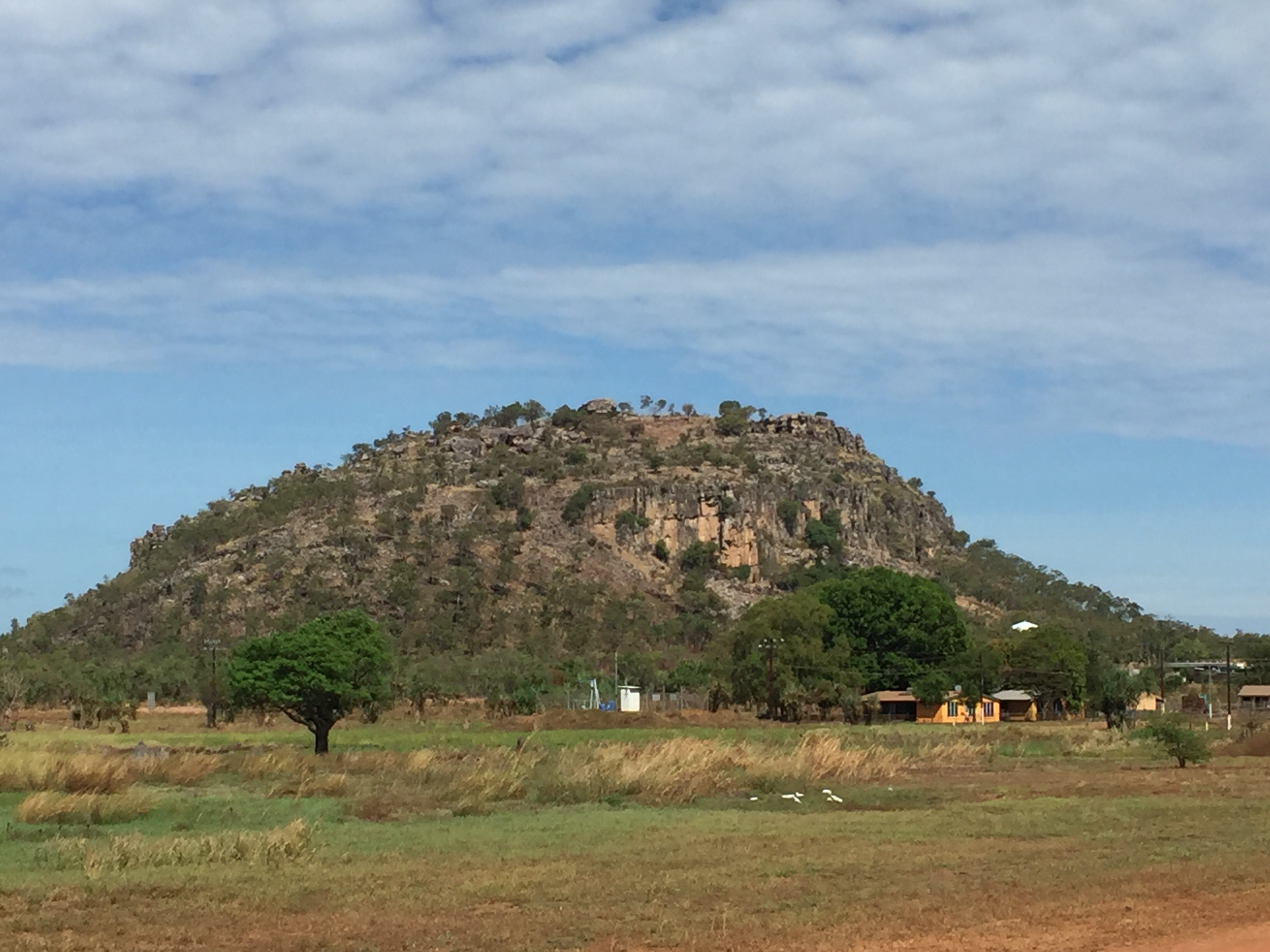
On rout to Katherine is the Devel’s Marbles, large rounded outcrop of bolders. A quick stop at Mataranka to view the hot springs and then a visit to Edith falls. Here is link to facebook video, shows sites on way to Katherine.

In Katherine, we stayed at the Pine Creek motel, nice place, close to town, good rooms and another great breakfast.

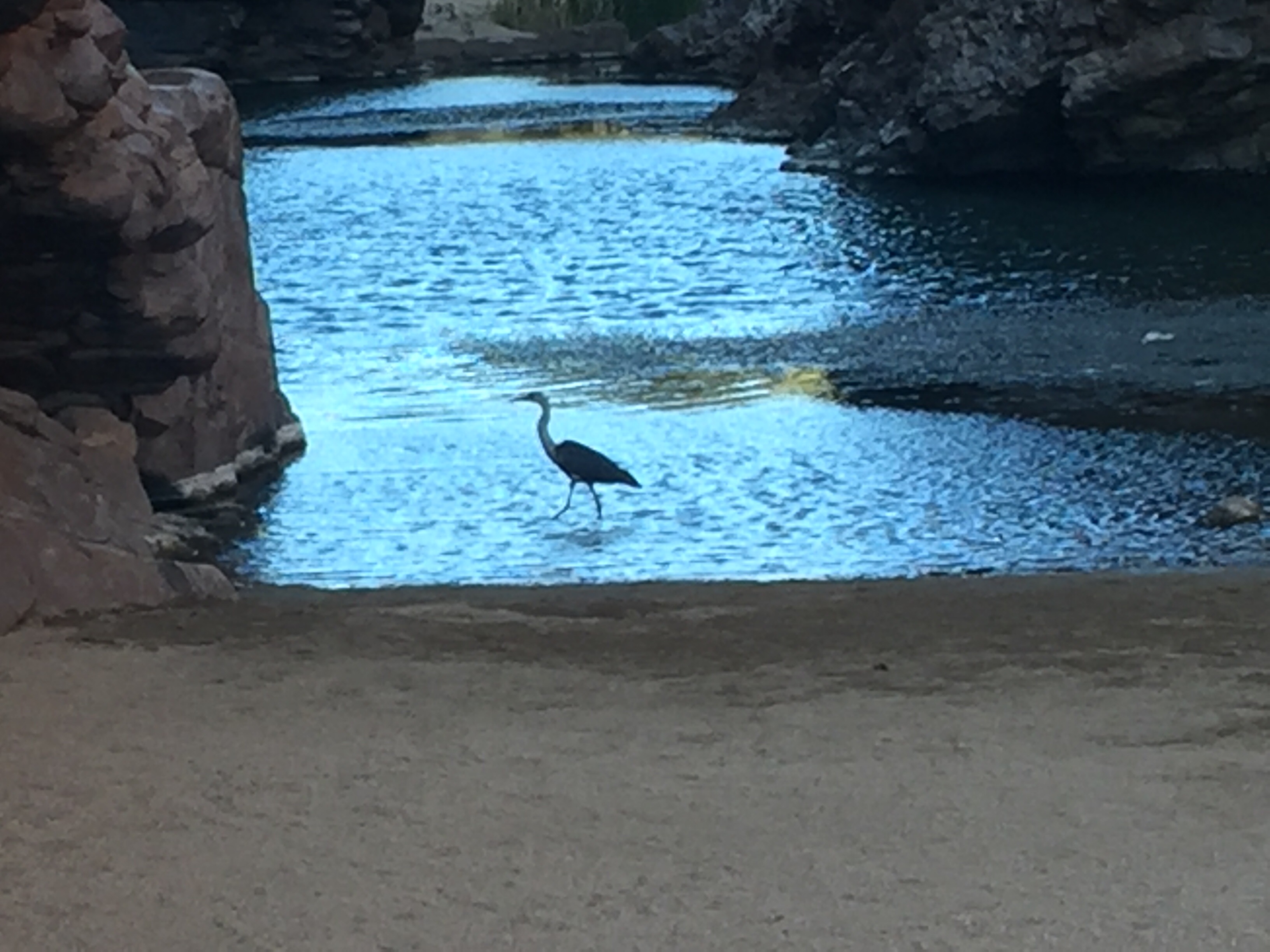
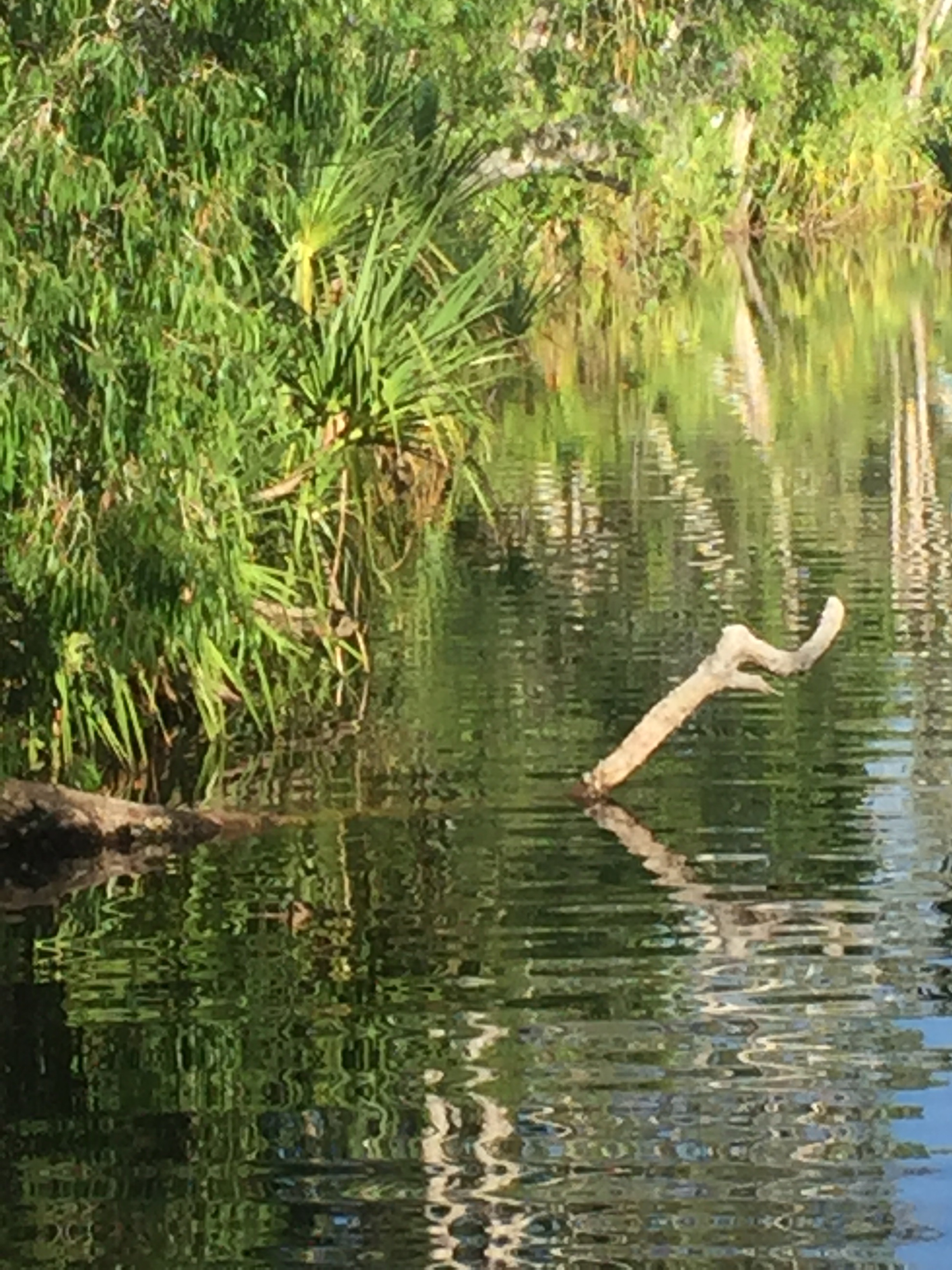
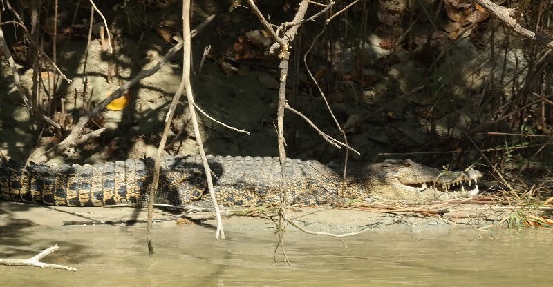
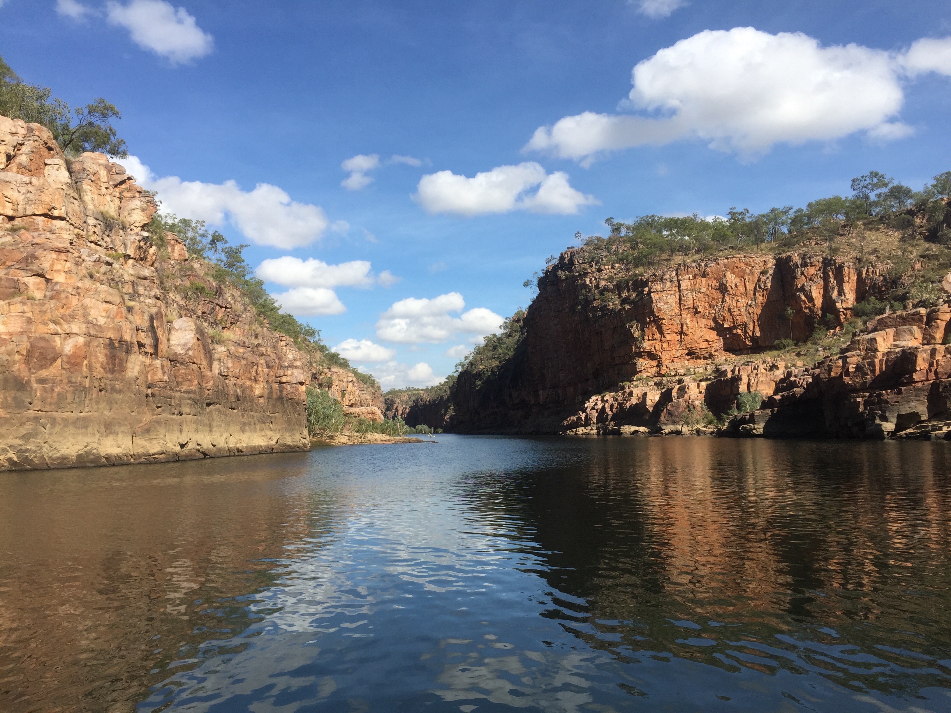
Up early to make the 9am tour of Katherine Gorge (see video KatGorgee), three sections of river, each separated by rock falls that form natural dams. The rock is hard sandstone, not like the normal standstone. The floods during the monsoon season have over many millions of years have carved step rock cliffs resulting in spectacular scenary. Along the edges fresh water crocodiles were plentiful, sunny themselves on the waters edge. However, there were places to swim! I managed a dip and nearly feel over in the process, I did manage later to fall and spain my left leg..limped the rest of the trip!

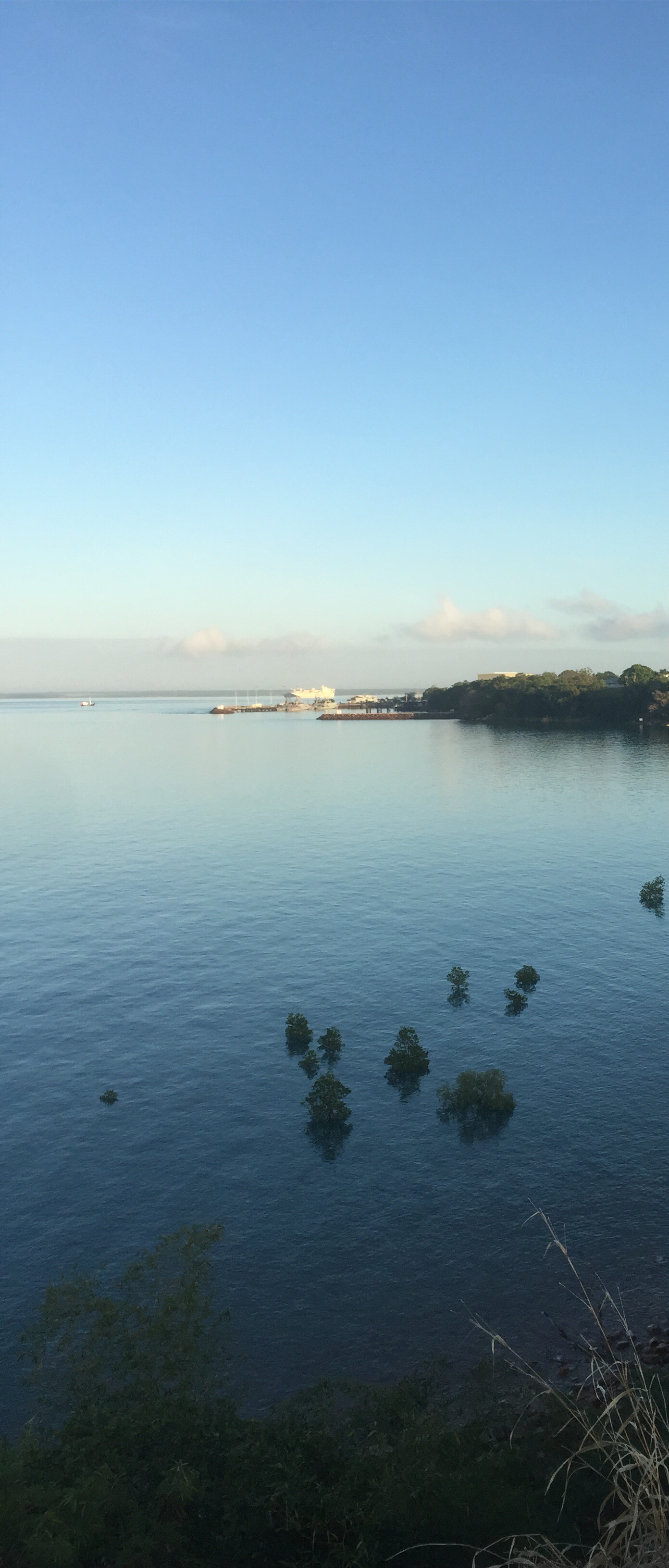
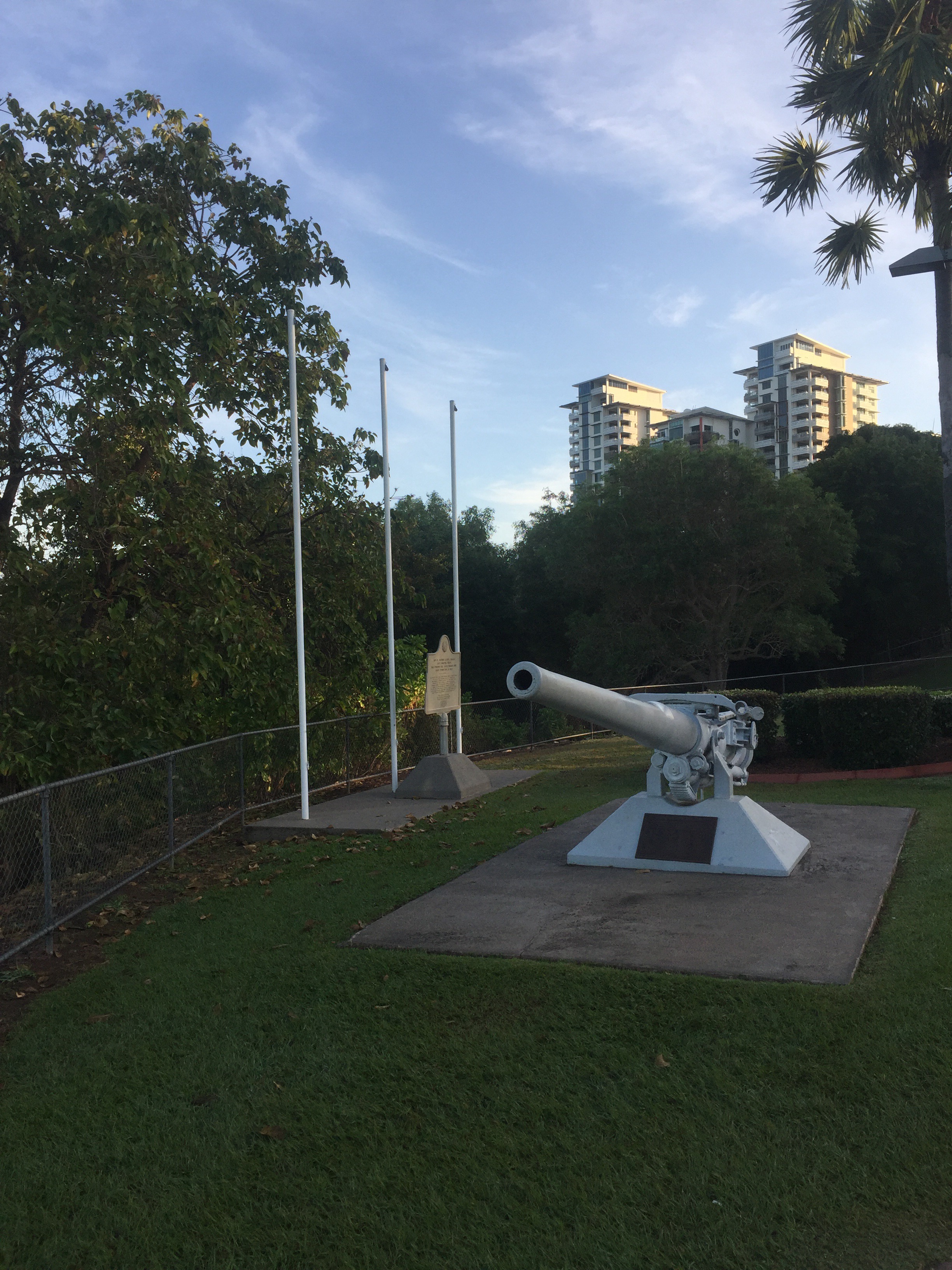
Off to Darwin in the morning, a shorter 350km drive. Stayed at the Hilton on the edge of the bay. Opposite was a great park for kids and further down a WWII memorial to US sailors who perished in the bombing raids in 1942.

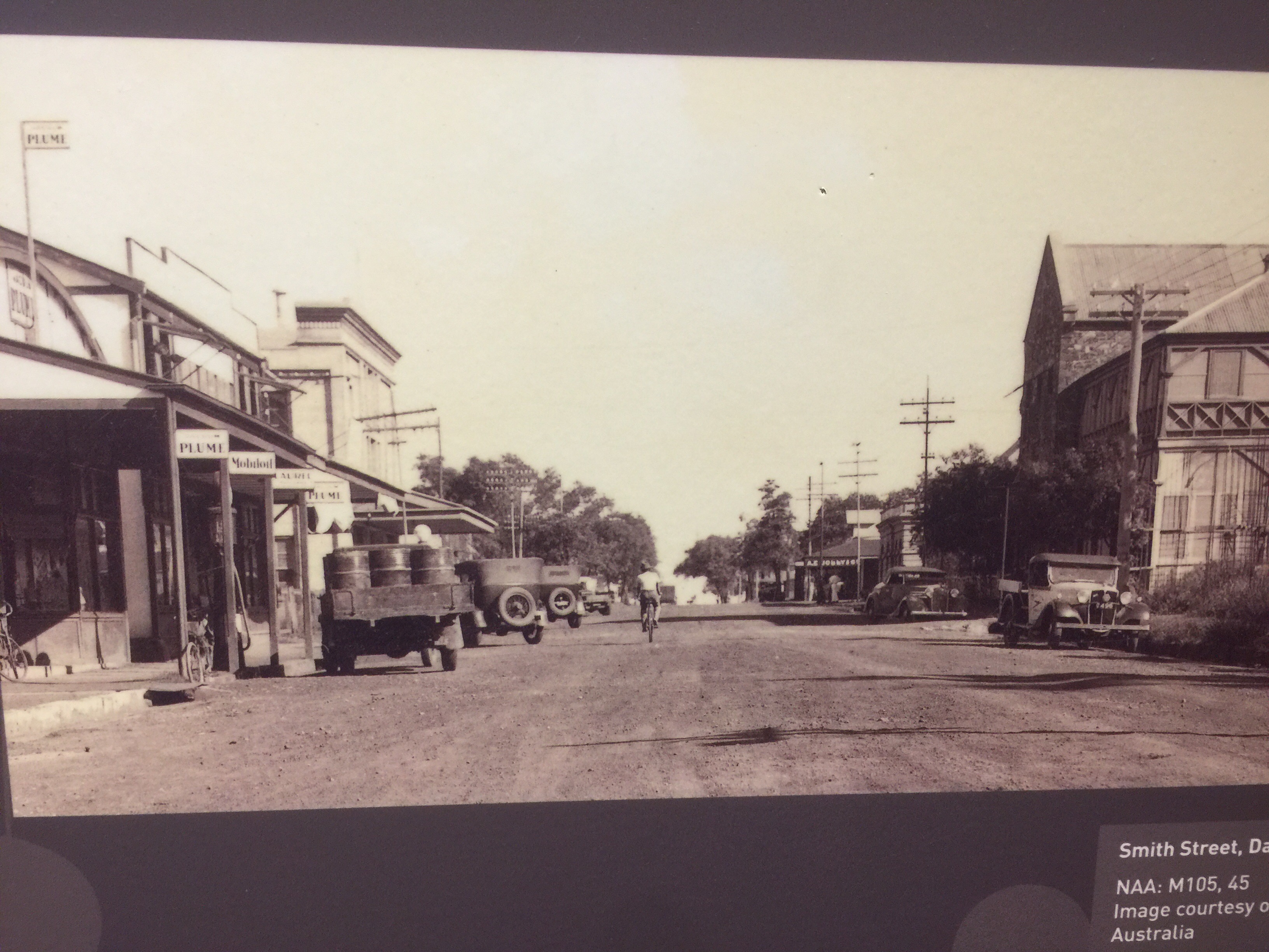
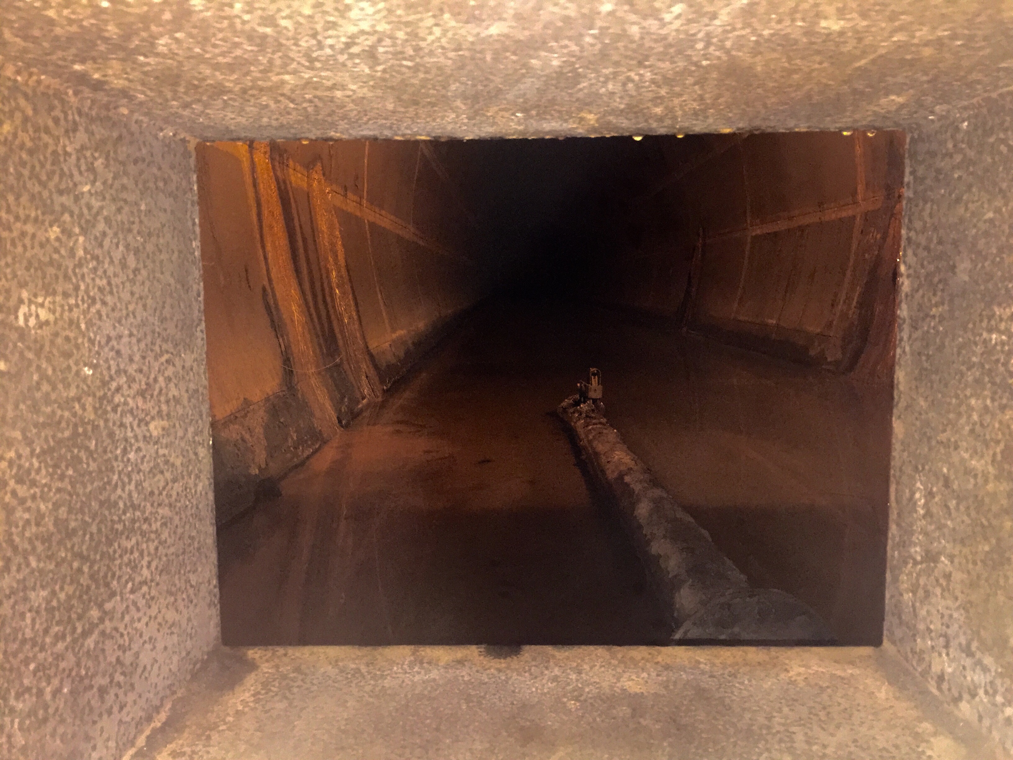
Harbour    Darwin Past                 USS memorial             Oil Tunnels


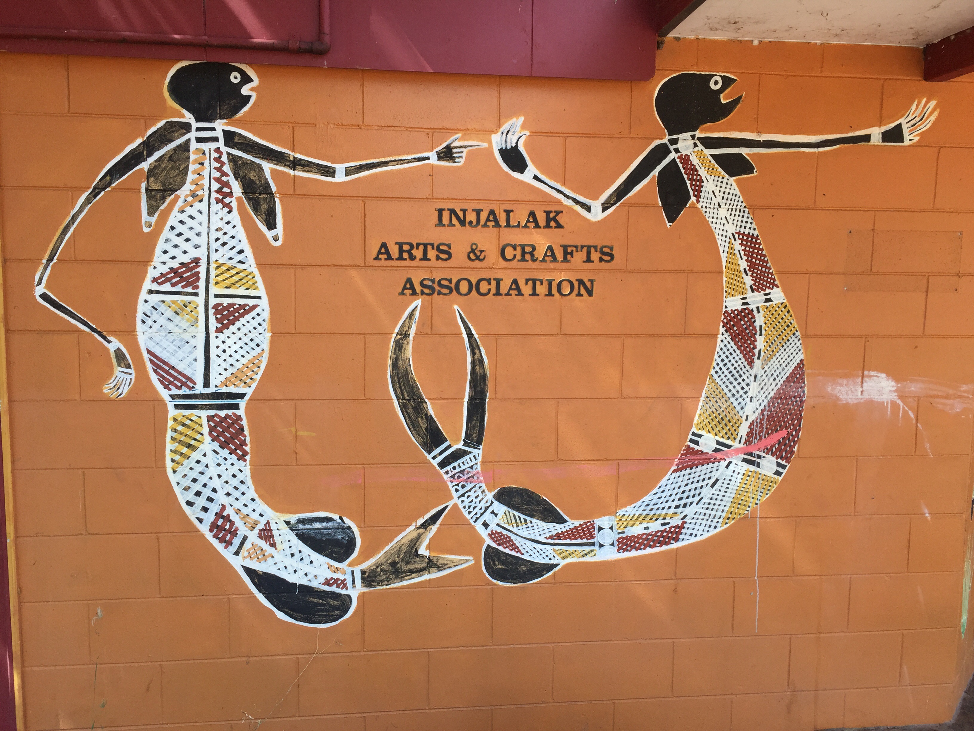
We booked onto a city 5hour tour the next day and I would recommend this as a great way to get an appreciation of the history – check here.  A link to my facebook site to view Darwin Art Gallery

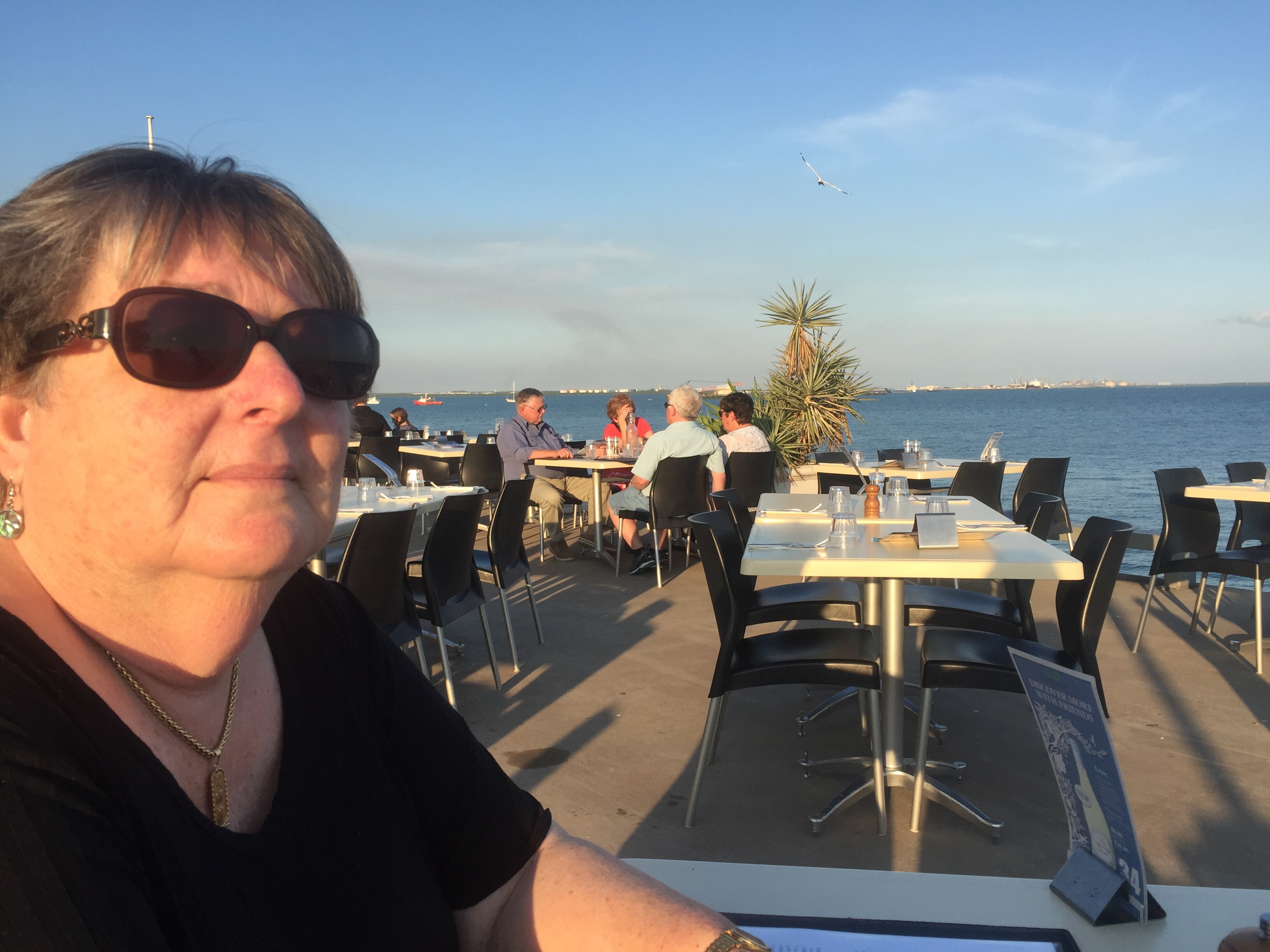
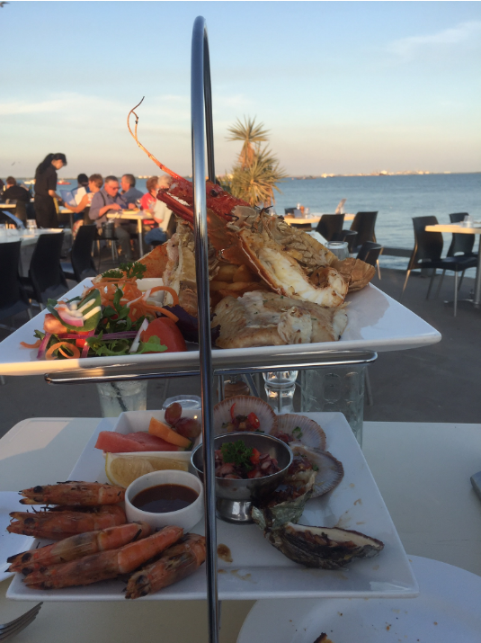
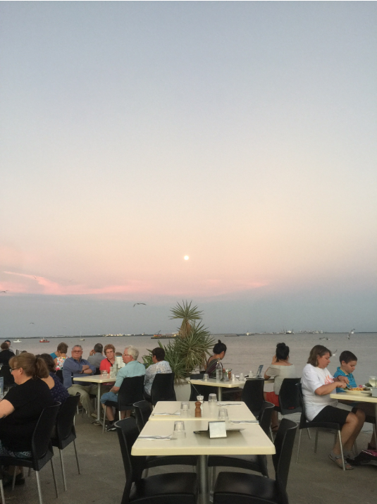
At night we ventured to Custaceans, an eatery on the end of Stokers Walf, watching the sun set over the harbour and eating a seafood platter for two is a great way to end the day.

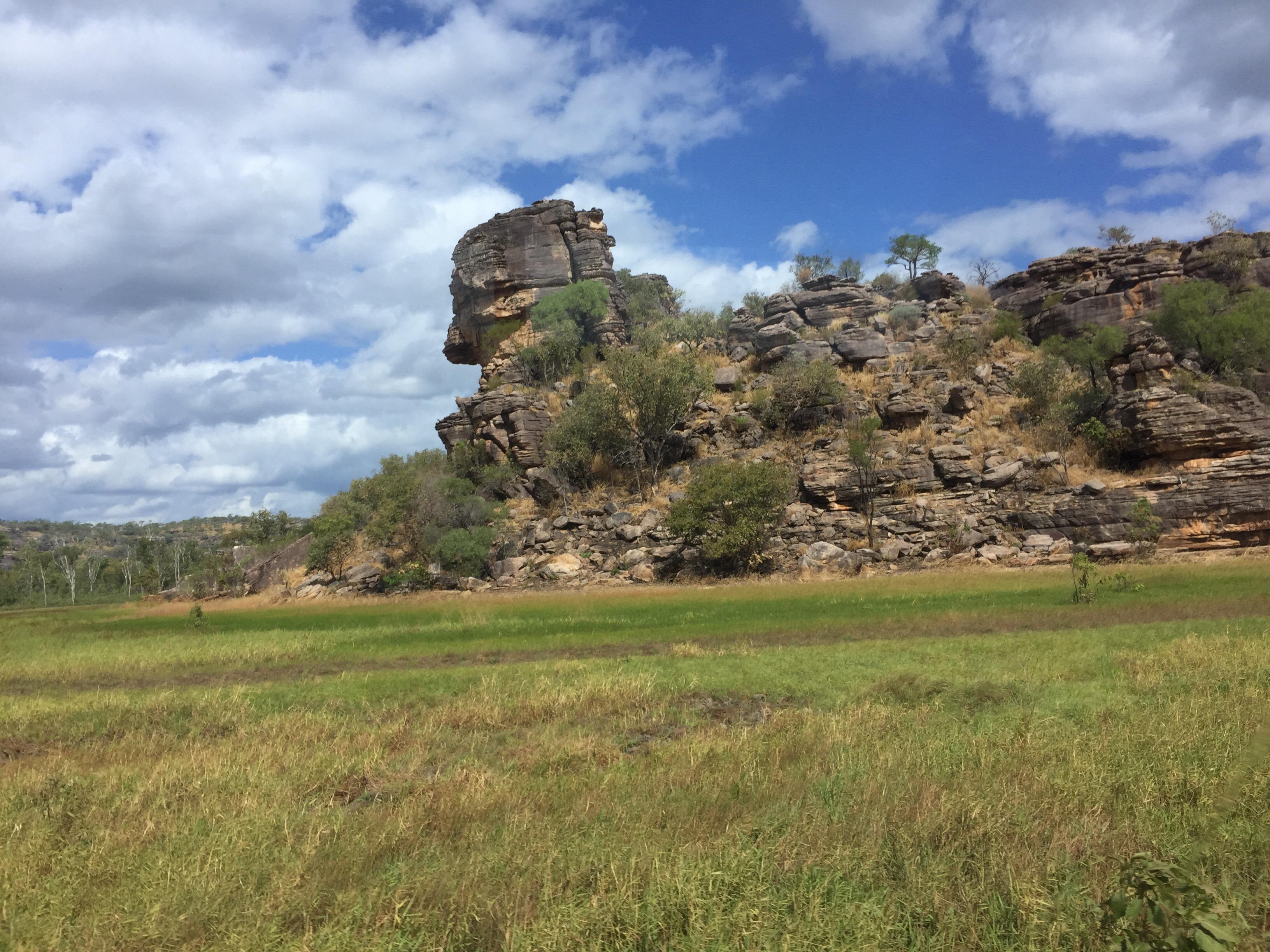
Off next day on our 3 day Kakadu & Arnhem land tour. In short it was wonderful, it is full on, starts early with plenty of action, even if you have a bung leg.

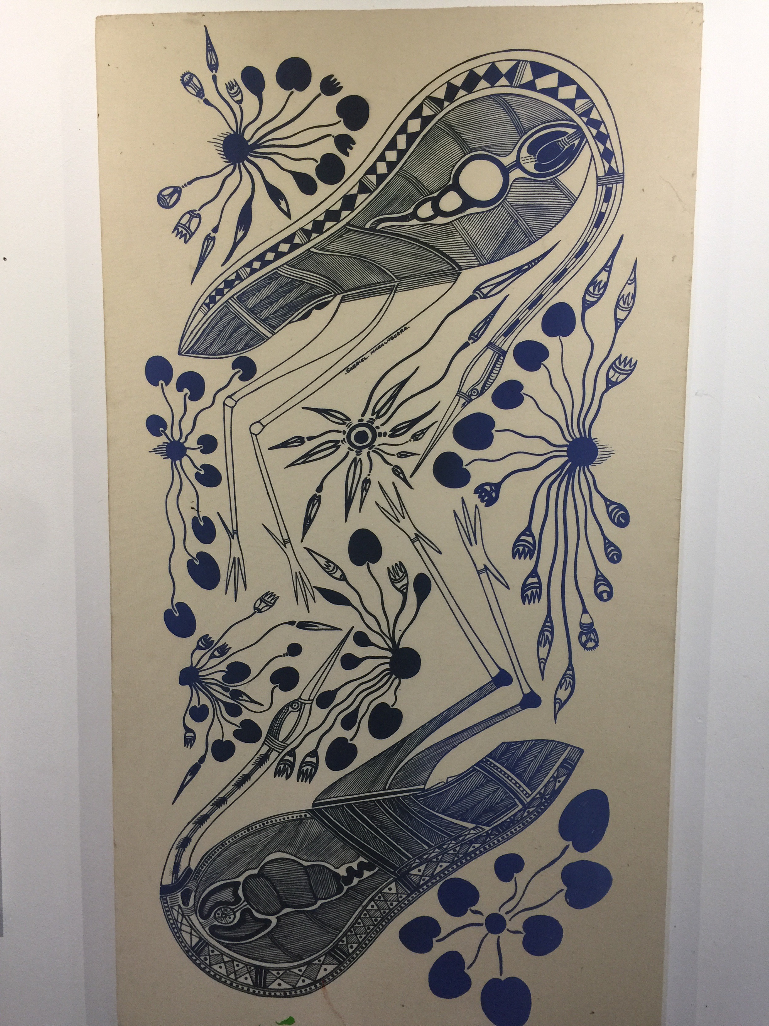
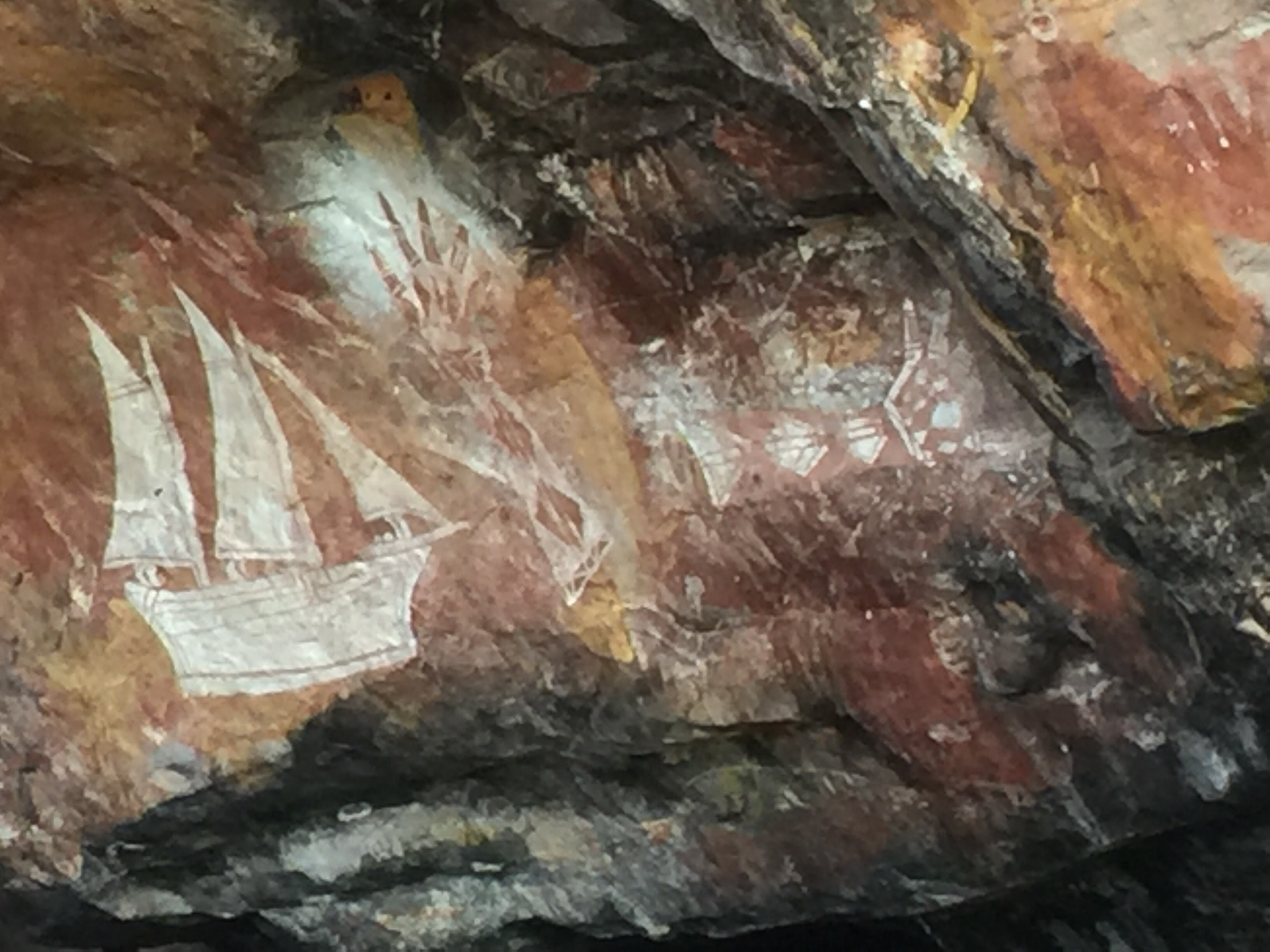
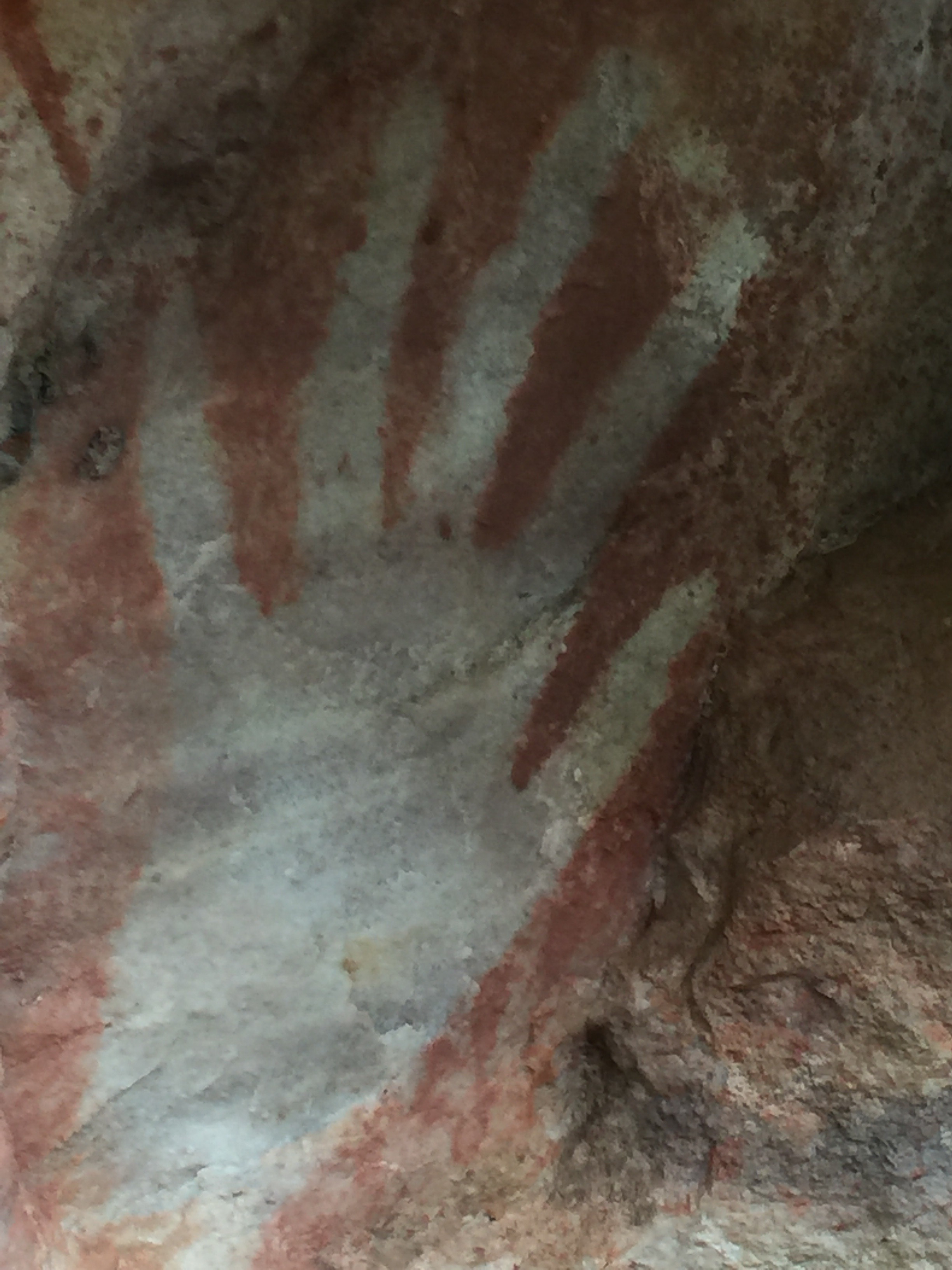
The tour includes curises on the Kakadu flood plain (croc), rivers, walks to look at Aboriginal Art, visites to cultural Art centers and plenty more. A few pics, more in the overview video.


Overview of trip also pics of the tour.

THE END! Darwin Airport.


LAOS: Luang Prabang & Plain of Jars at Phonsavan

Laos is a small and mountainous country, 4% is arable, and during the Vietnam conflict the Ho Chi Minh Trail that boarders the two countries was constantly bombed, in fact, on some measures it is the most bombed country ever, for example, using per capita metrics, and a considerable amount of Unexploded Ordinance remains, on some estimates 8m bombs did not explode.

Pics

https://static.googleusercontent.com/external_content/picasaweb.googleusercontent.com/slideshow.swf

https://static.googleusercontent.com/external_content/picasaweb.googleusercontent.com/slideshow.swf

The country is beautiful, at Lunag Prabang the Mekong slips past as it winds its way from Tibet towards the ocean outlet of the Mekong delta in southern Vietnam, cutting steep sided valleys covered in denser green rain forest and with very step banks, which make getting to and from boats a bit tricky especially for use oldies! Boats of all kinds traversed the river, cargo, tourist and ferries – we made one trip of about 4 hours in narrow long boat, which seemed to have a difficulty with its motor until we pulled up along side a larger boat that served as a gas station on the river.

https://static.googleusercontent.com/external_content/picasaweb.googleusercontent.com/slideshow.swfThe river cruise to the Buddhist cave was interesting, passing farm land and weaving around the rocky parts of the river. At the caves one is provided a panoramic view of a mountain range and we could see elephants in the water on the opposite bank. All along the river small villages can be seen and the bank of the river is often used for market gardens, sometimes with small terracing, it seems the flooding of the river is less a danger with the  up stream dams. Laos is looking to the Hydro power industry as its major form of export income by selling power to its neighbors of Thailand, China and Vietnam, however, the ecology is impacted and the flow of the river is likely to lessen in time, thus impacting how the people who live along the river interact with it. We saw Monks walking along the bank, many fisherman in very small boats or sitting on the bank, women and children carry the daily supplies up the banks from small boats and sometimes cows and elephants drinking. The river is an integral part of local life.

A trip to a local Elephant nursery saw us spending an hour with a 57 year old female who seemed to enjoy eating, the rest of the tour group road off down to the river, and on return two elephants transported their tourist riders down to the river for a spot of bathing and washing, of both parties. Like most places across Asia the elephant is endangered and these nurseries are important, as are the ones for bears, we past one such Bear park as we visited one of the water falls in the area.

The Plain of Jars is one of the important flat and arable areas and it is in the East towards Vietnam, it is home to large stone jars that were chiseled into shape somewhere between 300BC to 300AD by unknown people’s, and it is thought as part of burial rights to hold the bones. It is a 6hour drive to Phonsavan but worth it, you can fly in and out, but then you miss the sights. The road is narrow and winds through steep mountains and past village after village, like in Sri Lanka the road is just an extension of the house and in most parts the road ran along a narrow hill top with the houses perched precariously with little of no backyard, hence all play and cooking and cleaning was done in the front between the front door and the road, which in all cases was no more than a few feet.

The jars themselves are large, about as tall as a normal person and varying in circumference.   There are many sites and we visited two, there other main one was impassable due to rain. The plains are about 1000 m and hence the weather is cool and during our visit rainy as there was a Typhoon off the coast of Vietnam. The thing that strikes you about the stone jars is “how did they do that”, this was during the Iron Age, so it is thought that some form of iron tool was used, but it would have taken many hours and then required a lot of effort to move them into place.

The local markets and eating places are pleasant without hassle and the food and drink all reasonably priced, the hotel accommodation provides a good range to meet different budgets with Tuk Tuks and hire vehicles plentiful.

https://static.googleusercontent.com/external_content/picasaweb.googleusercontent.com/slideshow.swf

Japan April 2013

Just a few photo’s from a week long visit to Japan in April, went to a conference and to also pay my respects in Hiroshima.

The conference was a bit lame, but I visited Hiroshima and Kyoto before staying Osaka for the conference.

The country side I saw from the trains – the trains are clockwork, fast and clear – was a patchwork of green and plowed fields. The cities were a little drab but with a number of cultural and historic buildings. In Hiroshima mostly everything has been rebuilt, the peace park is a moving place to visit.

Some pics below.

pics

Our recent Holiday in Jordan

We started with a long drive down to Tala Bay – staying at the Movenpick resort was just the ticket!

https://picasaweb.google.com/s/c/bin/slideshow.swf

After a three day stay we ventured up to Wadi Rum, a fantastic trip into the dessert and Cathie went on a balloon ride, resulting in some lovely pictures.

https://picasaweb.google.com/s/c/bin/slideshow.swf

Cathie’s Pictures

https://picasaweb.google.com/s/c/bin/slideshow.swf

Cathie’s Balloon Ride

https://picasaweb.google.com/s/c/bin/slideshow.swf

After Wadi Rum we ventured up to Little Petra and then Dana, spending a night in each.

Little Petra

https://picasaweb.google.com/s/c/bin/slideshow.swf

Shoback Castle and Dana

https://picasaweb.google.com/s/c/bin/slideshow.swf

Um Al-Jimal & Poppies

We set off about 10.30am to visit an ancient basalt city that had fallen victim to the earth quakes around 600AD up near the Syrian border – the place is rarely visited and I can’t imagine why, apart from the fact it is free it is just wonderful.

On route via Jerash to Rehab and then Masraq we passed through some lovely farmland, the whole area had been enlivened by the recent rain and the poppies and other wild flowers where starting to come out – I am still searching for a Black Iris.

Poppies
Poppies near Jerash

Here is a slide show of some of the flowers we found.
https://picasaweb.google.com/s/c/bin/slideshow.swf

Umm Al-Jimal is a fantastic – get a car and go take a look.

Here is a pic of the main tower, I think it has been re-built but the walls are surrounded by collapsed ruins.

Tower Um Al-Jimal
Tower Um Al-Jimal

Some of the highlights can be seen in this slide show.

https://picasaweb.google.com/s/c/bin/slideshow.swf

Iraq Al-Amir Handicraft Village

Todays little adventure starts at the 8th circle, we turn right and out towards Iraq Al-Amir to visit the handicrafts market, see some caves, an old Roman ruin, a Roman Aqueduct – I am pleased to say that we found all of these.

But, why is it not possible to place some very clear signs – brown ones, there is one! Anyway, if you venture out on the Wadi as-Seer road you will need to turn left onto the Iraq A-Ameer Street, which takes out to the market, if in doubt ask at the police station that you will find at an intersection – it is in the middle of the road, I think in the middle of the Wadi as-Seer township.

The markets are terrific, established by Queen Noor to provide employment for local craft makers, lovely hand made paper pieces, pottery and various other craft pieces.

About 3klms before the markets you will catch a glimps of the Aqueduct – there is a picture in the slide show.

One the hillside overlooking the markets you will find the caves, and about 1kl further down the road you will find a terrific pre- Roman Ruin called Qasr al-Abad.

The area is just outside Amman and you feel it is little changed, small farms are plentiful with pretty surrounding scenery and there are plenty of wild herbs growing: drill, some wild basil and nettles.

Enjoy the slide show.

https://picasaweb.google.com/s/c/bin/slideshow.swf